

Ask UK Holiday Breaks
Tell us where you're going, who you're travelling with, or what you'd like to do.
Dovedale
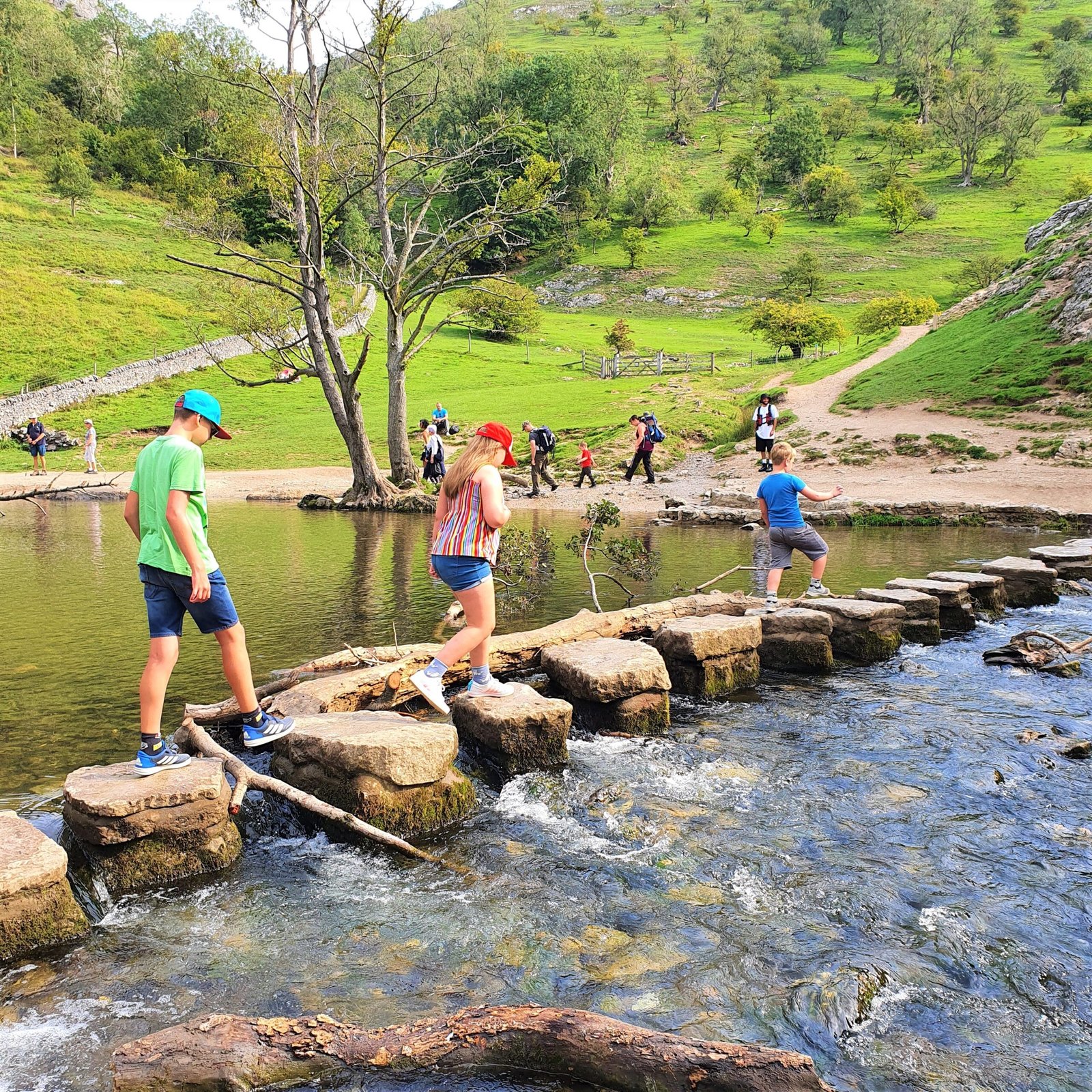
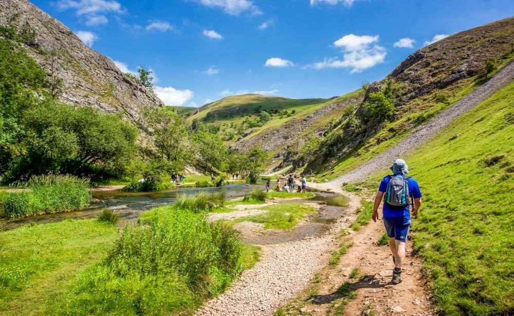
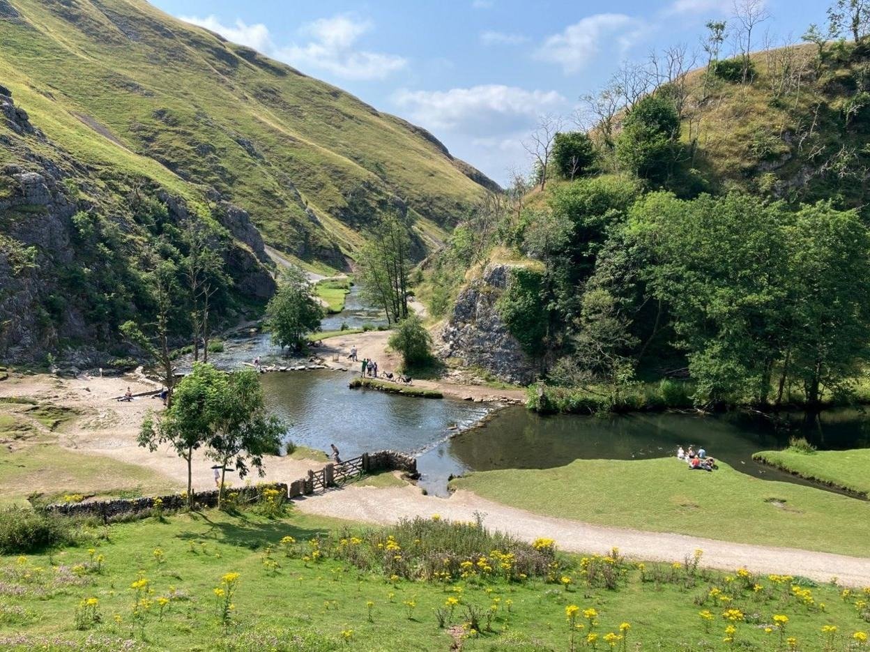
Dovedale is one of England’s most iconic limestone valleys—a dramatic gorge in the southern Peak District carved by the River Dove and framed by towering limestone cliffs. The famous stepping stones (placed in the 19th century) allow crossing the river; paths navigate the valley floor beneath formations named Lover’s Leap, Tissington Spires, and Dove Holes—dramatic rock sculptures shaped by water and millennia. Dovedale combines accessibility (riverside sections are flat and easy) with adventure (circular walks climb to ridge-top views and moorland perspectives). It’s a destination for photographers, walkers of all levels, and anyone seeking dramatic British landscape within accessible reach. The valley is busiest at the stepping stones (especially summer weekends), but the circular routes and upper terrain offer solitude and stunning views.
Location Details
- County: Derbyshire
- Postcode: DE6 2AY (Dovedale car park, Ilam, near Ashbourne; 10 miles north of Ashbourne)
Valley Features & Walks
- The Stepping Stones: The iconic crossing point—a sequence of stones allowing dry-foot river crossing. Dating to the 19th century, they’ve become Dovedale’s symbol. Crossing requires balance and care (water depth varies with rainfall). The simple act of crossing engages all senses—water sound, stone tactility, river flow.
- Rock Formations: Lover’s Leap (tall limestone cliff), Tissington Spires (twin pinnacles), Dove Holes (cave passages)—each formation has geology and mythology. They’re visually striking from multiple angles, worth experiencing from both close and distant perspectives.
- Riverside Path: A flat, easy walk from the car park to stepping stones to Milldale (approximately 2 miles). The path stays close to the River Dove, offering constant water views and rock formation engagement. Family-friendly; manageable for varied fitness levels.
- Circular Walks: Multiple routes ascend from the valley floor to ridge-top moorland (Bailey Hill, Thorpe Cloud). Steeper climbing with reward of panoramic Peak District views. Routes range from moderate (Thorpe Cloud summit) to challenging (full Bailey Hill circuit). These reveal landscape scale beyond the immediate valley.
- Dovedale National Nature Reserve Status: The valley is designated for geological and biological importance—limestone ecology, rare plants, and water-dependent species. Walking thoughtfully respects this conservation status.

Visiting & Best Practices
The National Trust car park (Dovedale) is the main access point. Parking is charged (approximately £1.50 per hour). Toilets available at the car park (nominal charge). Early morning visits avoid crowds and reward with wildlife activity. Muddy conditions are common (especially winter/wet weather); appropriate footwear essential. The valley is extremely busy summer weekends (thousands of visitors); weekdays and spring/autumn offer quieter experiences with equally stunning scenery.
Good to Know
- Entry: Free to visit. Parking charged separately. No admission to the landscape itself.
- Duration: 1–2 hours for casual riverside walk and stepping stones. Half-day circular walk (Thorpe Cloud) 2–3 hours. Full-day exploration (Bailey Hill circuit) 4–5 hours.
- Facilities: Car park toilets; nearby Castleton village has pubs and cafés (2 miles). Picnic areas along riverside.
- Getting there: By car (main access). Parking at Dovedale car park. Narrow country lanes; passing places; take care. Bus from Ashbourne. Cycle-friendly (though climbs challenging for bikes).
- Accessibility: Riverside section flat and accessible. Circular walks involve hills and uneven terrain. Discuss mobility requirements; alternative accessible routes may exist nearby.
- Seasons: Spring brings fresh growth and wildflowers. Summer is busy but lush. Autumn offers foliage drama and fewer crowds. Winter is quieter, atmospheric; muddy conditions common.
- Weather Consideration: River levels vary dramatically with rainfall. After heavy rain, stepping stones may be submerged or dangerous. Check conditions before planning to cross.
Eat, Drink & Stay Nearby
Dovedale itself has minimal on-site facilities. Castleton village (2 miles) has pubs and tearooms. Ashbourne (10 miles) offers broader dining and accommodation. Peak District rural areas throughout have countryside hotels, guest houses, and holiday cottages. Ilam (adjacent) has limited accommodation.
Walk dramatic limestone landscape and experience Peak District scenery: From easy riverside strolls to ridge-top panoramas, Dovedale offers walking for all levels.
Rural Retreats Peak District Holiday Homes on Snaptrip Holiday Cottages Anywhere
Affiliate disclosure: This section contains affiliate links.